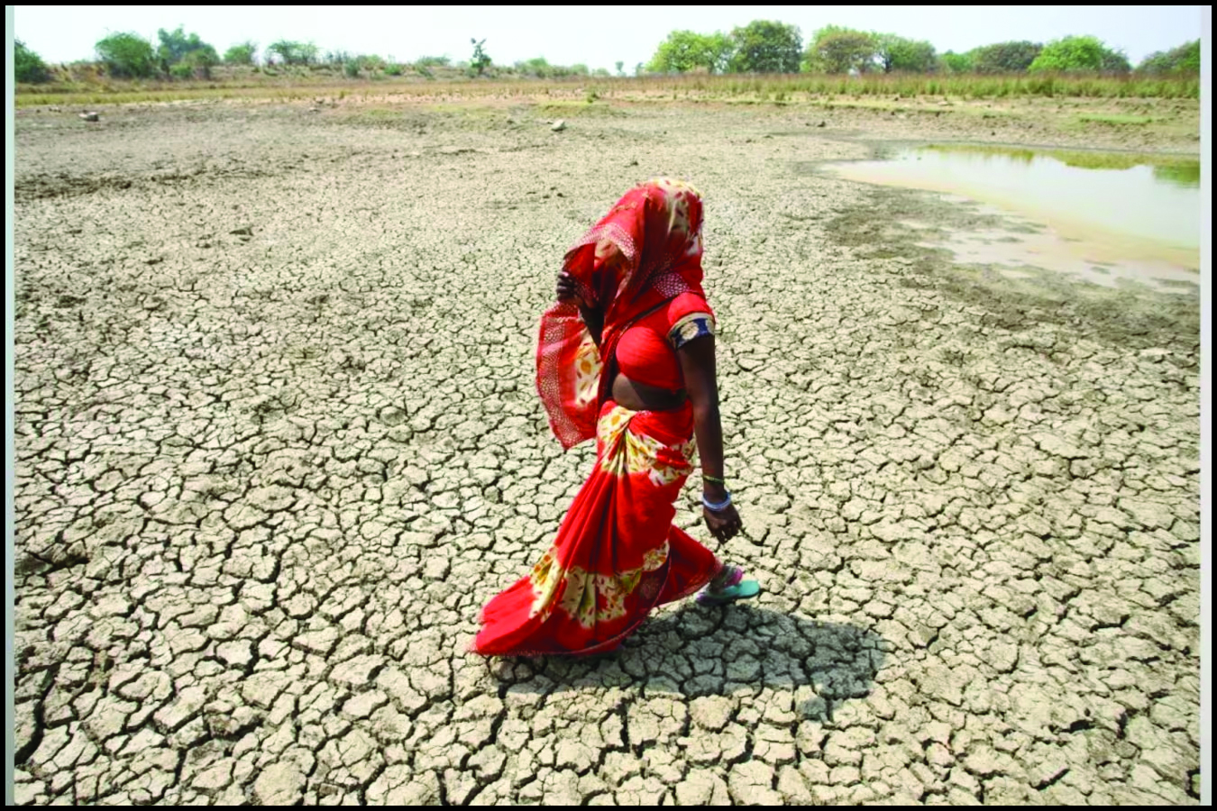
As Govt Issues Advisory for Heatwave, Here's Why the Phenomenon Occurs
(South Asian Insider Bureau) Awarning regarding the anticipated heatwave from March to May has been released by the Union Health Ministry. The “Dos and Don’ts" list was released as the Indian Meteorological Service issued its first heat advisory for 2023. The National Disaster Management Authority estimates that by 2020, there would have been 23 states affected by such waves, more than quadruple the number in 2015. Last March was the warmest India had seen in more than a century, with severe heat waves destroying harvests and resulting in widespread power outages. READ MORE on this here As per a report by the Hindu, the IMD had issued a warning the week of February 21 that maximum temperatures across northwest, west, and central India would be 3-5° C higher than the long-term normal. The national capital saw its third hottest February day (33.6° C) in more than five decades on February 21. And as per Kalinga TV, the temperature in some regions of the Odisha may reach 40 to 42 degrees in the first week of March. The report said temperature would rise by 3 to 5 degrees in most coastal and western portions of the state, and that the daytime temperature in North and South Odisha districts is predicted to rise by 2 to 4 degrees.
IS A HEATWAVE COMING?
The early temperature rise is due to weak western disturbances and, as a result, less rainfall. Skymet Weather Services president GP Sharma told CNBC-TV18 that that temperatures are mostly under control “over the northern or central part…by the western disturbance, which we know starts early in November and lasts through December, January, and February. As they march on, they begin to shift northward." Throughout November and December, however, there were no substantial western disturbances. “There is a lack of rainfall in plains and hilly regions when they are generally quiet. The deficit continues to grow, and it will be reflected in the temperature profile in areas of Haryana, Delhi, Rajasthan, and even Madhya Pradesh." GP Sharma went on to highlight the effect of current La Nina conditions in rising temperatures. “We are experiencing La Nia for the third year in a row (which has a negative impact on the Indian monsoon)…this scenario results in lower than average rainfall…you can expect increased heat… This worries me since it will continue till March," he told CNBC-TV18. Trade winds are greater than usual during La Nia occurrences, driving more warm water towards Asia.
WHAT IS A WESTERN DISTURBANCE?
A western disturbance is an extratropical storm that forms in the Mediterranean region and brings heavy winter rain to the northern Indian subcontinent, extending as far east as northern Bangladesh and south-eastern Nepal. The westerlies are driving a non-monsoonal precipitation pattern. The moisture in these storms typically originates over the Mediterranean, Caspian, and Black Seas. Extratropical storms are a global phenomenon that carry moisture in the upper atmosphere, as opposed to tropical storms, which carry moisture in the lower atmosphere. When a storm system encounters the Himalayas, moisture is sometimes shed as rain on the Indian subcontinent. During the winter, western disturbances become more frequent and stronger. According to a National Geographic, La Nina is a climate pattern that describes the cooling of surface-ocean waters along South America’s tropical west coast. La Nina is thought to be the polar opposite of El Nino, which is characterised by unusually warm ocean temperatures in the Pacific Ocean’s equatorial region. La Nina and El Nio are the “cold" (La Nina) and “warm" (El Nino) phases of the El Nino-Southern Oscillation, respectively (ENSO).